AGTEK SmartPlanHexagon
SmartPlan Cloud-Connected Mobile App AGTEK’s SmartPlan leverages geo-referenced 4D output on your job site, making it an indispensable tool for project managers and estimators.
Vendor
Hexagon
Company Website


Product details
Overview
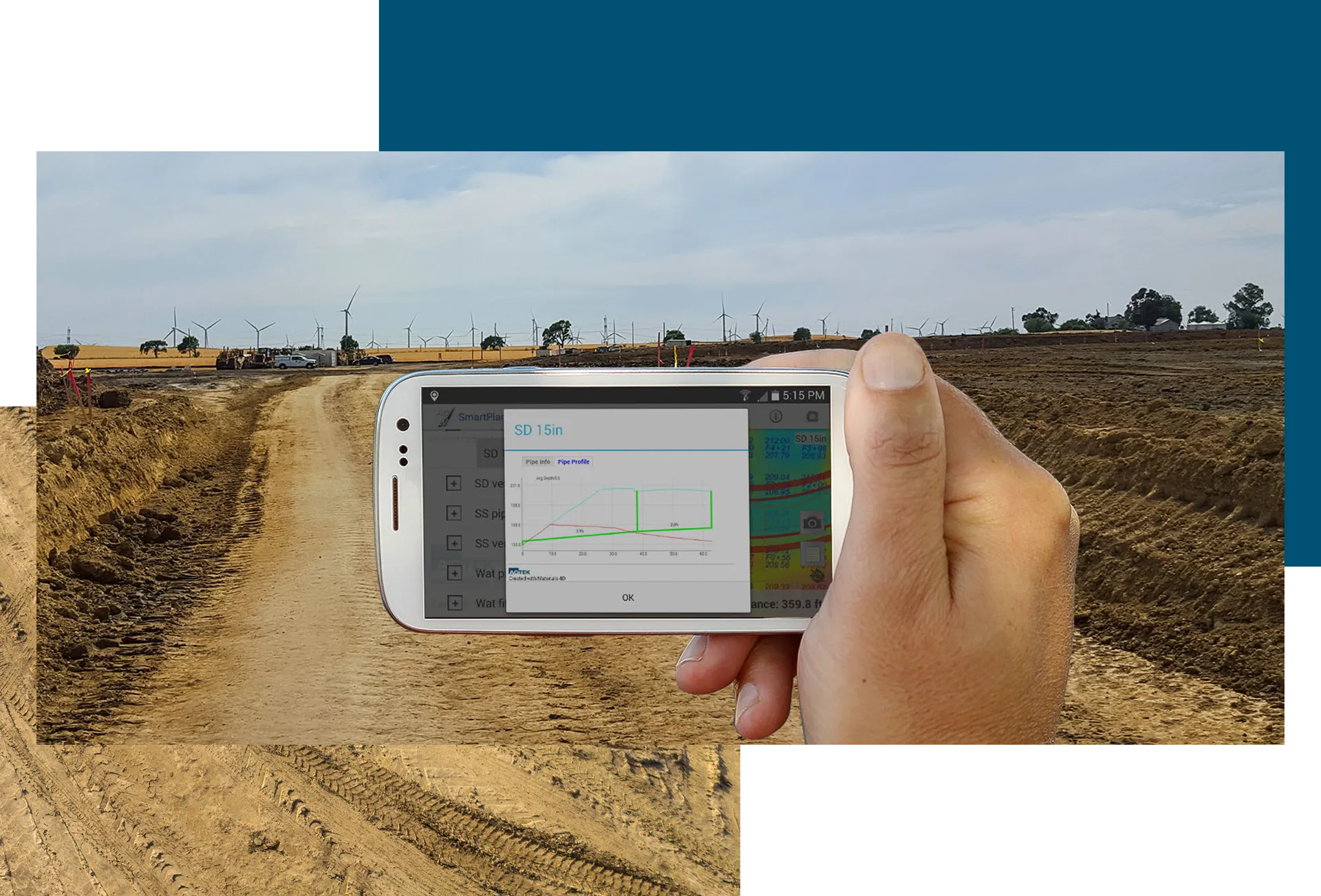
AGTEK's SmartPlan is a mobile application designed to provide construction professionals with geo-referenced 4D site plans directly on their smartphones or tablets. By utilizing the GPS capabilities of Apple and Android devices, SmartPlan enables users to navigate job sites efficiently, access critical project data in real time, and document progress with ease. It improves on-site decision-making, reduces dependency on physical stakes, and facilitates communication between field teams and office personnel.
Features and Capabilities
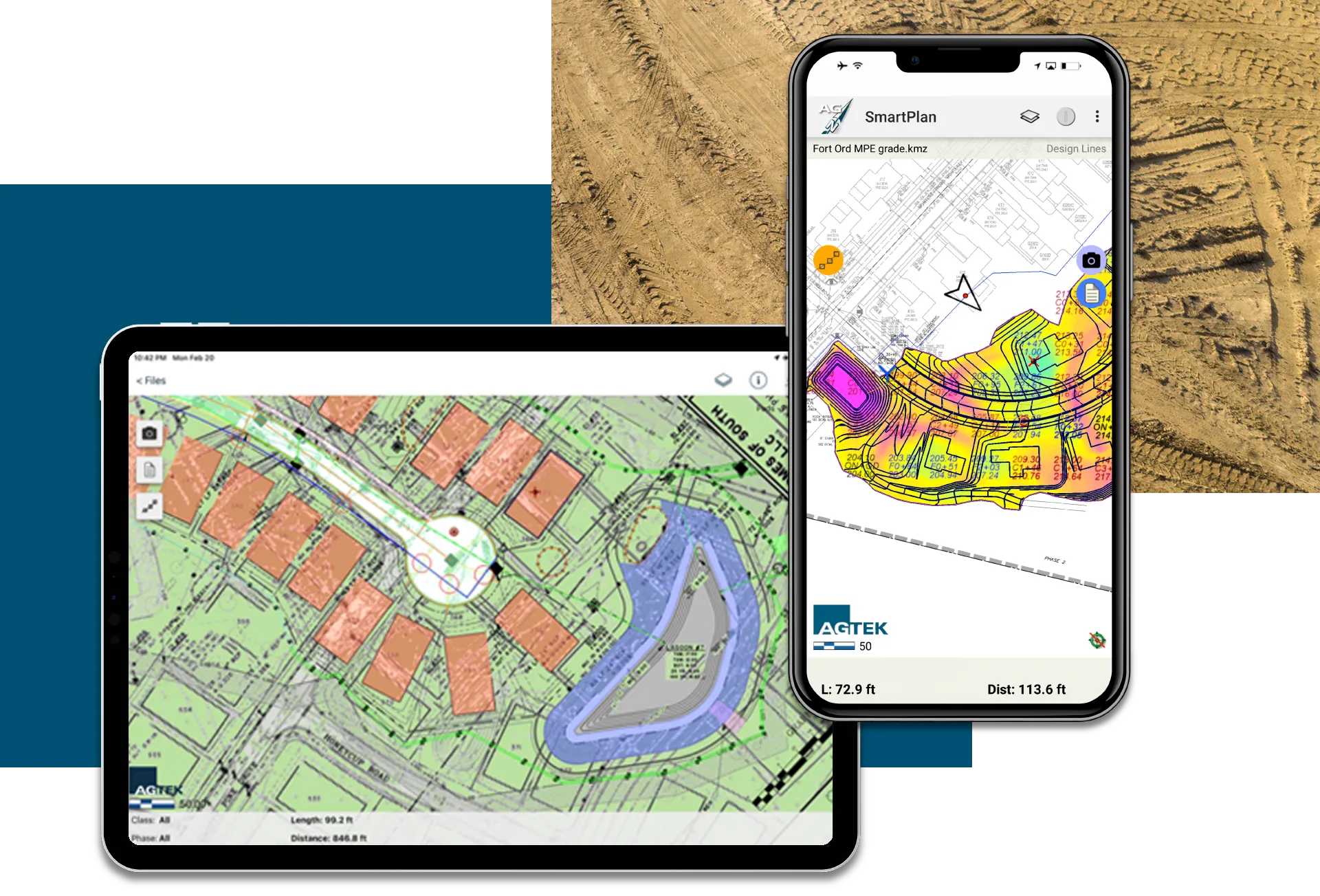
- Geo-Referenced Site Plans: Access detailed, location-specific plans on mobile devices for precise navigation.
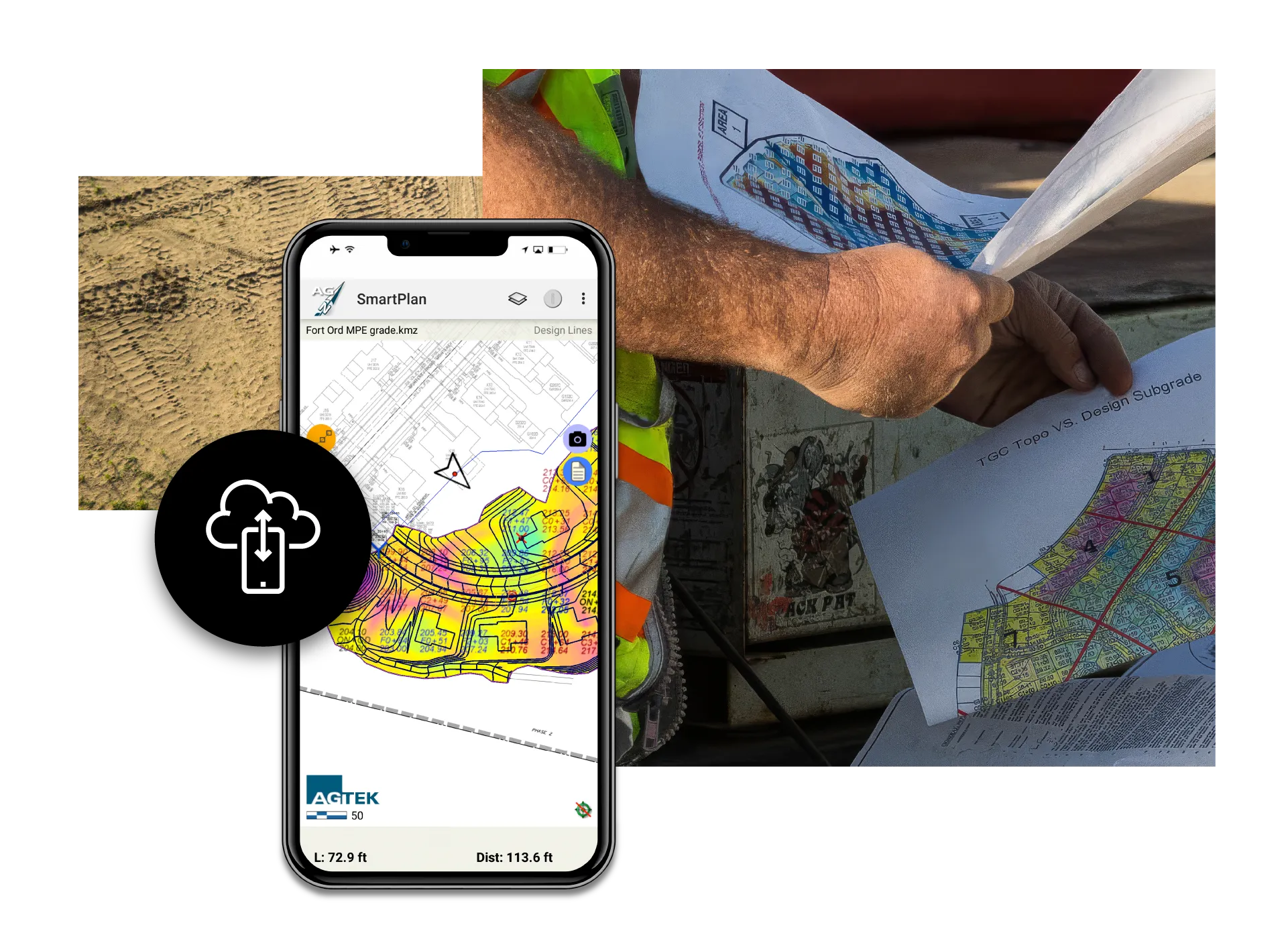
- Cut-Fill Grid Maps: Visualize earthwork needs with color-coded maps for better material management.
- On-Site Navigation: Use GPS to approximate grading limits, balance areas, pad corners, and slope features.
- Real-Time Position Tracking: View current positions on site plans to ensure project alignment.
- Measurement Tools: Record tracks, calculate areas and lengths, and document completed work accurately.
- Time-Stamped Photo Documentation: Capture site photos with automatic timestamps to track progress.
- Cloud Integration: Seamlessly transfer data between the field and office for enhanced collaboration.
- Google Earth Compatibility: Display site data within a comprehensive visual context for project planning.
- User-Friendly Interface: Navigate plans and data with intuitive controls for improved productivity.
- Cross-Platform Availability: Compatible with Apple and Android devices, ensuring flexibility for users.