Aerial ViewGoogle
Immersive 3D video for locations.
Vendor
Company Website


Product details
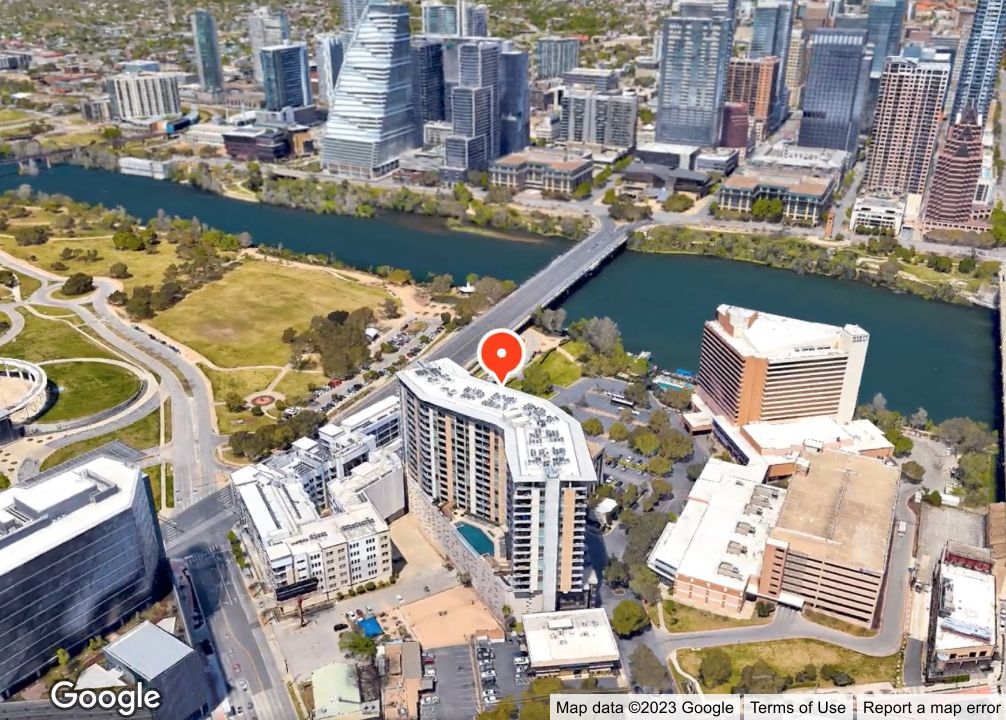
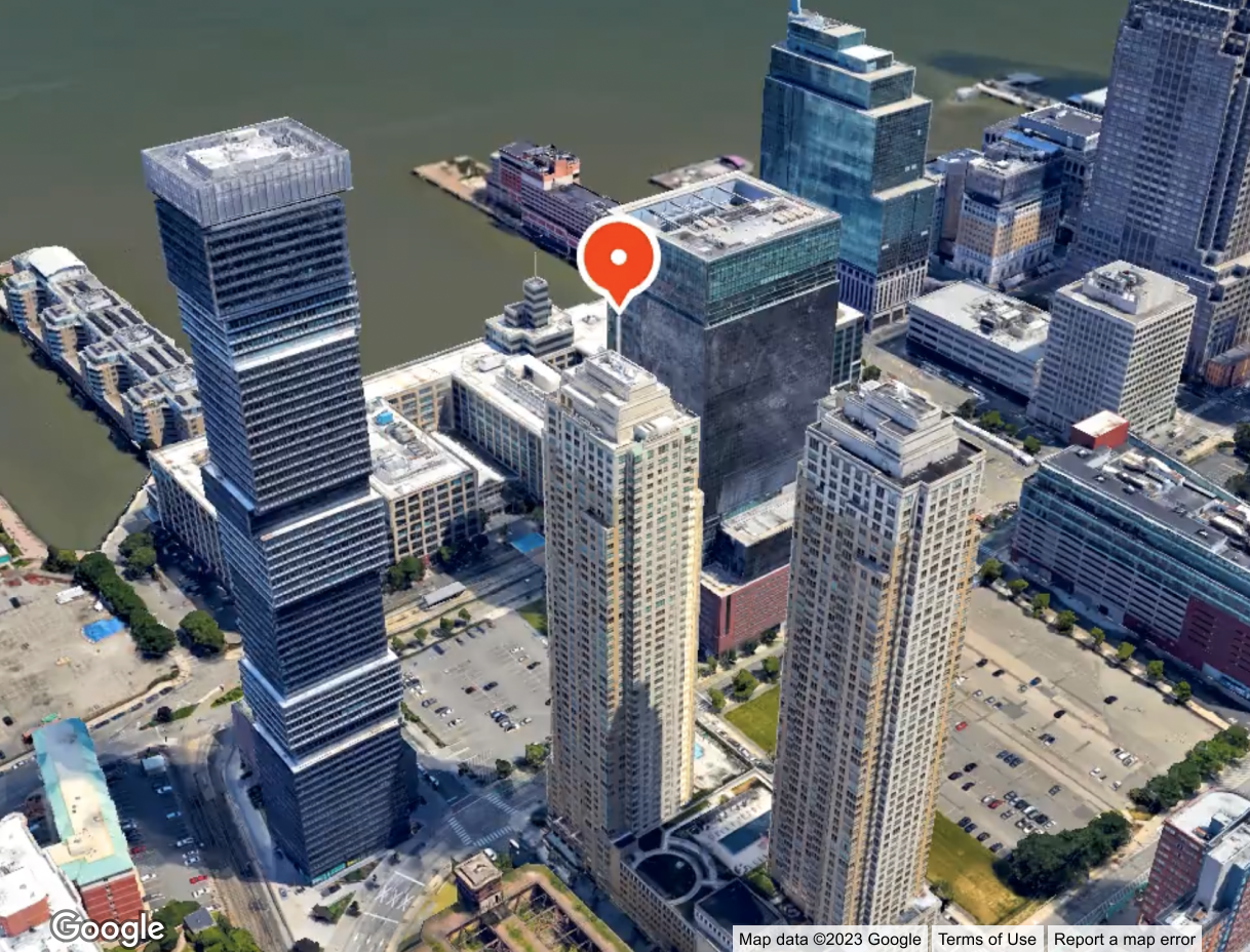
Google Maps Aerial View offers automatically-generated, 3D cinematic videos to enrich location understanding. It helps in educating buyers, travelers, and enhancing customer experiences by providing immersive, pre-rendered videos.
Key Features
- Immersive Experience: High-resolution, 360-degree videos provide a detailed view of locations.
- Scalability: Videos can be requested via API for any US address dynamically.
- Pre-rendered Content: Reduces development time and expense by using existing content.
- Customization: Integrates with Google’s high-resolution imagery for customizable visualizations.
Benefits
- Educational: Helps users make informed decisions by visualizing locations.
- Cost-Effective: Saves resources by using pre-existing videos instead of creating custom content.
- Enhanced User Experience: Engages users with immersive visualizations.